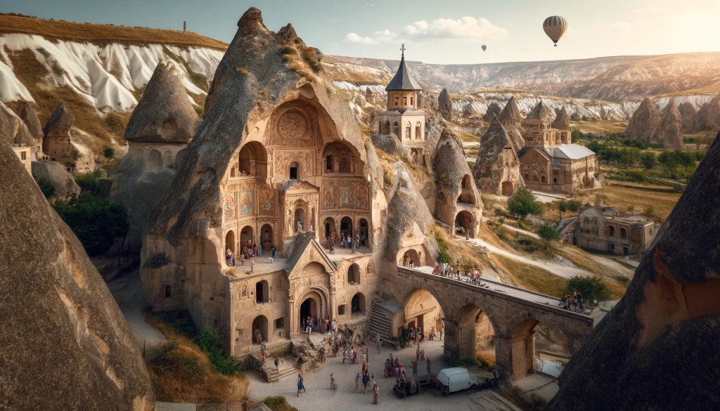
Özkonak Underground City is one of the quieter underground settlements of Cappadocia, set near Avanos in Nevşehir Province. It is often mentioned beside Derinkuyu and Kaymaklı, but its value is not only in comparison with larger sites. Özkonak gives a clear look at the practical engineering that made Cappadocia’s soft volcanic tuff useful for shelter, storage, communication, and defense.
The site sits in a landscape where surface villages, river valleys, volcanic plateaus, and carved underground spaces belong to the same long regional story. For independent travelers and history readers, Özkonak is a compact lesson in how communities adapted geology to the needs of daily life and moments of insecurity.
Where Özkonak Fits in Cappadocia
Özkonak is northeast of Avanos, a town known for the Kızılırmak River and a long pottery tradition. Official tourism descriptions place the underground city about 14 kilometers from Avanos on the northern slopes of İdiş Mountain, where dense volcanic tuff layers made carving possible. That setting matters: underground cities were not isolated curiosities, but extensions of the same rock-cut habits visible in Cappadocia’s houses, churches, dovecotes, storage rooms, and valley shelters.
Cappadocia’s underground settlements developed in a region that connected central Anatolian routes, farming villages, monastic landscapes, and frontier zones. Their exact origins can be difficult to assign to one period because many spaces were enlarged, repaired, or reused across generations. Rather than imagining a single construction date, it is more useful to read Özkonak as a layered place: geology first made the carving possible, and human communities then shaped the underground network according to changing needs.
Architecture of Shelter and Control
The most memorable features at Özkonak are the tunnels, carved rooms, ventilation openings, water-related spaces, and round stone doors. These are not decorative details. They show a system designed to manage movement, air, access, and security underground.
Round rolling stones, often called bolt stones, could close passageways from inside. Their shape allowed them to be moved into position while making forced entry difficult. Narrow tunnels slowed movement and helped residents control who entered deeper spaces. Ventilation shafts and small air ducts helped make sealed rooms usable, while water wells and fountains reflect the need for longer stays during periods of danger.
One feature often highlighted at Özkonak is its system of narrow communication ducts between levels. These openings suggest that people inside could pass messages or coordinate movement even when parts of the city were closed. Official descriptions also note defensive ducts near secured passages, interpreted as a way to resist pursuers around the sealed stone doors. Whether used often or only prepared for emergencies, the design reveals a careful understanding of confined space.
Not a Hidden Metropolis, but a Practical Refuge
The phrase “underground city” can make these places sound like permanent subterranean towns. In Cappadocia, it is usually better to think of them as refuge systems connected to surface life. People farmed, traded, worshiped, cooked, and raised animals above ground. Underground spaces became important when communities needed protection from raids, political instability, harsh conditions, or other threats.
That practical purpose explains the architecture. A visitor should look for evidence of function rather than grandeur: low passages, storage areas, controlled doorways, ventilation lines, and the relationship between public and more protected zones. Özkonak’s compact visitor route can make these details easier to follow than at larger, more complex underground sites.
This does not mean the site was simple. Carving an underground refuge required knowledge of stone, airflow, drainage, and human movement. It also required community organization. Each tunnel and room reflects labor invested before a crisis, so that the space would be ready when needed.
How Özkonak Compares with Derinkuyu and Kaymaklı
Derinkuyu is often discussed for its depth, and Kaymaklı for its broad network connected to village life. Özkonak is smaller in the public imagination, but it has its own historical value. Its communication ducts and defensible passage design make it especially useful for understanding how underground spaces worked as systems, not just as rooms.
Readers planning a wider Cappadocia study can compare Özkonak with Derinkuyu Underground City and Kaymaklı Underground City. The comparison shows that Cappadocia did not have one standard underground-city model. Each site reflects local geology, settlement patterns, security concerns, and later excavation choices.
Village Context and the Avanos Landscape
Özkonak’s location near Avanos links it to a landscape shaped by both stone and water. Avanos is closely associated with the Kızılırmak River and red clay pottery, while the surrounding tuff slopes preserve rock-cut spaces of many kinds. Seeing Özkonak in this setting helps avoid treating underground cities as isolated attractions. They belong to the same human geography as villages, fields, routes, craft traditions, and river-based settlement.
That context also helps explain why underground refuges were valuable. Central Anatolia’s open plateaus could expose communities to movement across long distances. In a region of trade routes and shifting political authority, the ability to withdraw people, food, animals, and essential supplies into protected spaces was a practical form of resilience.
Practical Travel Context
Özkonak is a historical site with enclosed passages, uneven floors, narrow stairs, and low ceilings. Visitors should move slowly, follow marked routes, and respect any closed areas. People who are uncomfortable in confined spaces may want to consider the underground environment carefully before entering.
Simple preparation is enough for most visitors: wear shoes with good grip, keep both hands free on steps when possible, and allow time to read the rooms rather than rushing through them. Opening times, ticket rules, photography restrictions, and maintenance closures can change, so official museum or tourism information should be checked close to the day of travel.
Respectful travel matters underground. Do not scratch names into the tuff, touch fragile surfaces unnecessarily, enter blocked tunnels, or treat carved spaces as props. These places survived because generations reused and protected them. Modern visitors share that responsibility.
Why Özkonak Matters
Özkonak Underground City matters because it makes Cappadocia’s hidden engineering visible. The site shows how local communities transformed soft volcanic rock into a controlled environment with air, water, security, and communication. Its carved passages are not only mysterious; they are practical answers to historical pressure.
For anyone studying Cappadocia beyond its famous surface landscapes, Özkonak is a reminder that the region’s history runs vertically as well as horizontally. Villages, valleys, churches, dovecotes, and underground rooms all belong to one cultural landscape shaped by adaptation, patience, and the possibilities of tuff.
Sources and Further Context
For official background, see GoTürkiye’s Cappadocia overview and the Turkish Museums listing for Nevşehir Özkonak Underground City. These sources provide location context and describe key features such as the tunnels, ventilation shafts, water elements, communication ducts, and bolt stones.